 I’ve said it in this space before, but one of the great advantages of life in Southern California – and there are many – is the opportunity to embark on a myriad variety of grand adventures within an hour or two of your home.
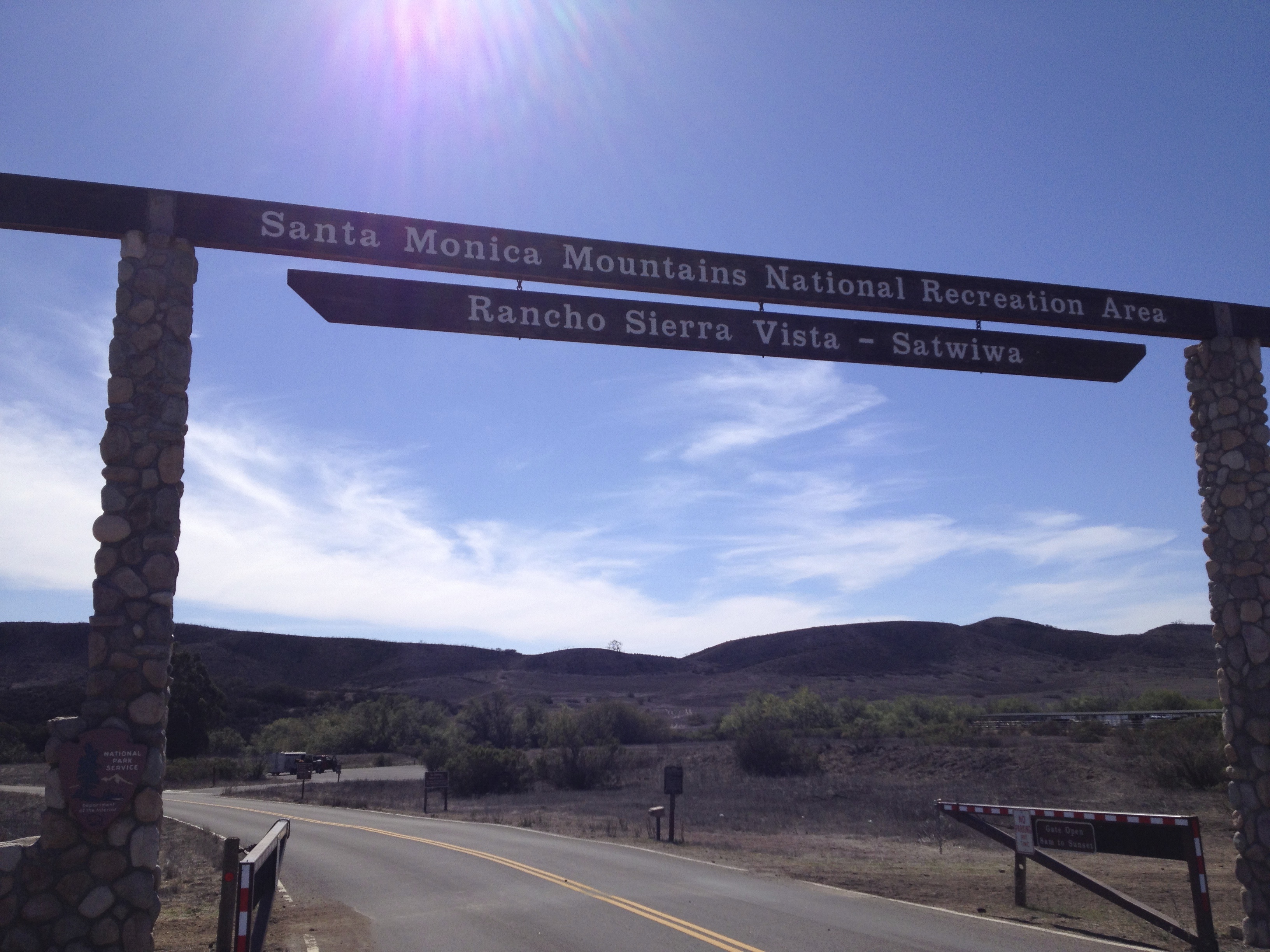
From where we live in Woodland Hills, nestled in the southwest edge of the San Fernando Valley, my wife and I can arrive on a Pacific Ocean beach within 20 minutes, begin an ascent into the Santa Monica Mountains in less than 15 minutes, visit the high desert in a half-hour – and drive less than an hour into a world as rough-hewn and glorious as Big Santa Anita Canyon in the San Gabriel Mountains.
 It’s hard to imagine that Victoria and I have lived in Southern California since 1991 and it took us 22 years to discover Big Santa Anita Canyon. We’ve often hiked Malibu Creek State Park, Topanga State Park and many of the wonderful trails winding through the valleys and along the crest of the Santa Monica Mountains. But it wasn’t until the summer of 2013 that we trekked eastward above the town of Arcadia into the fascinating valley at the foot of Mt. Wilson, below Chantry Flat in the San Gabriels.

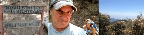
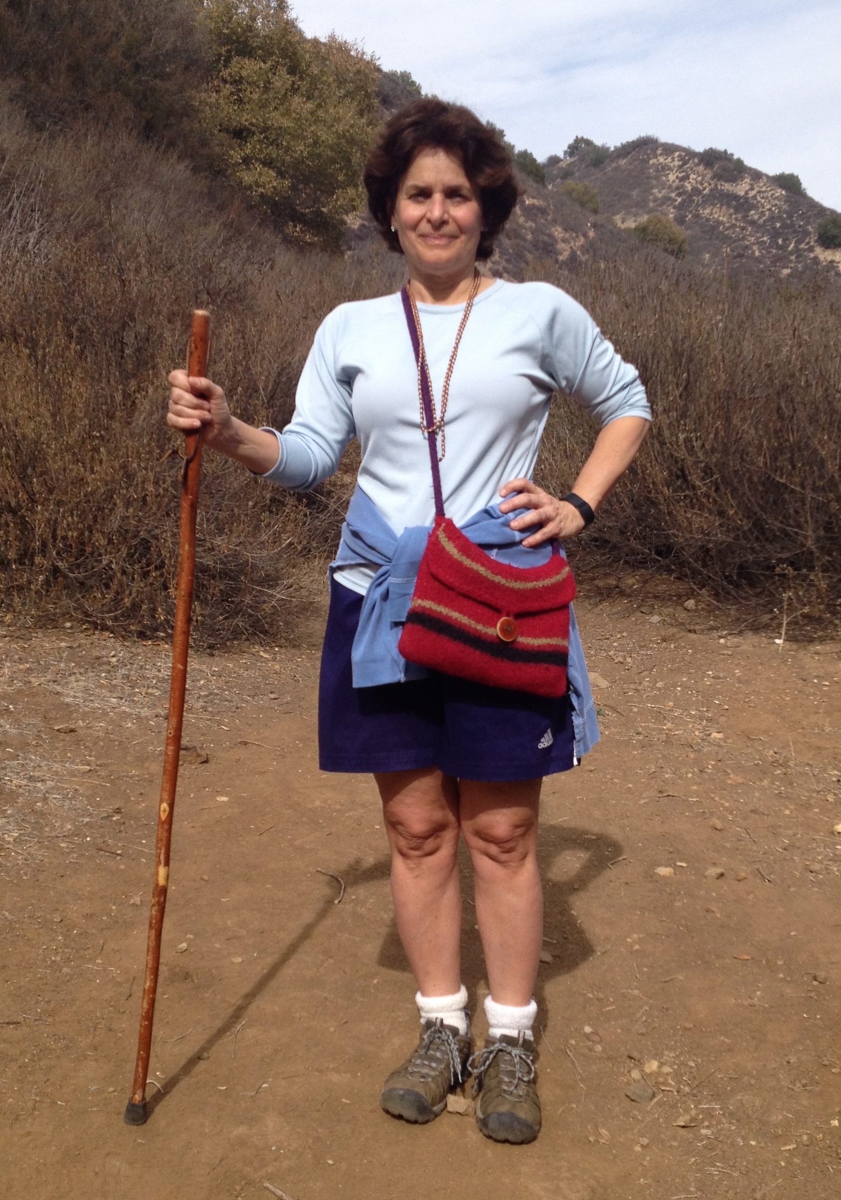
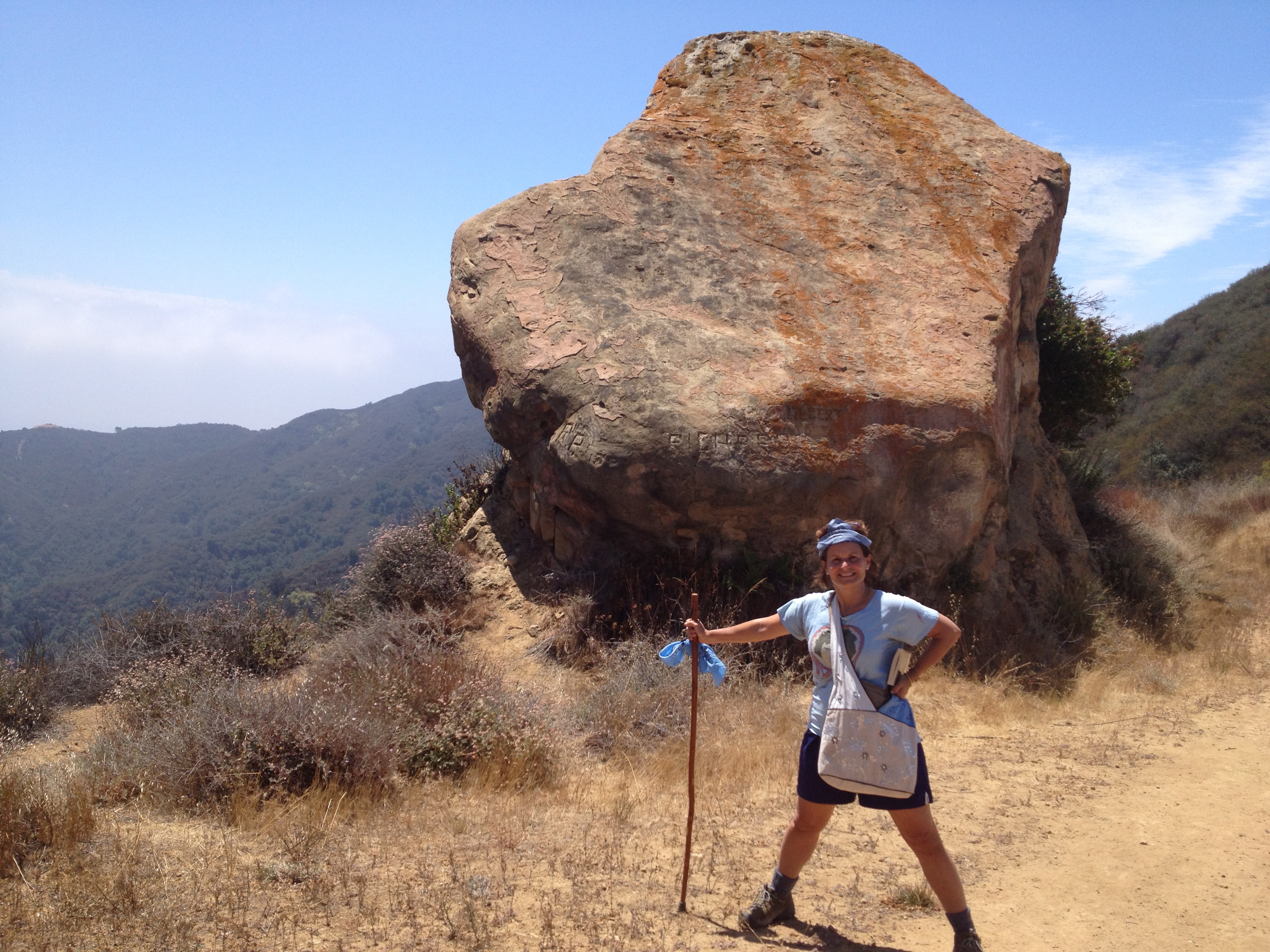
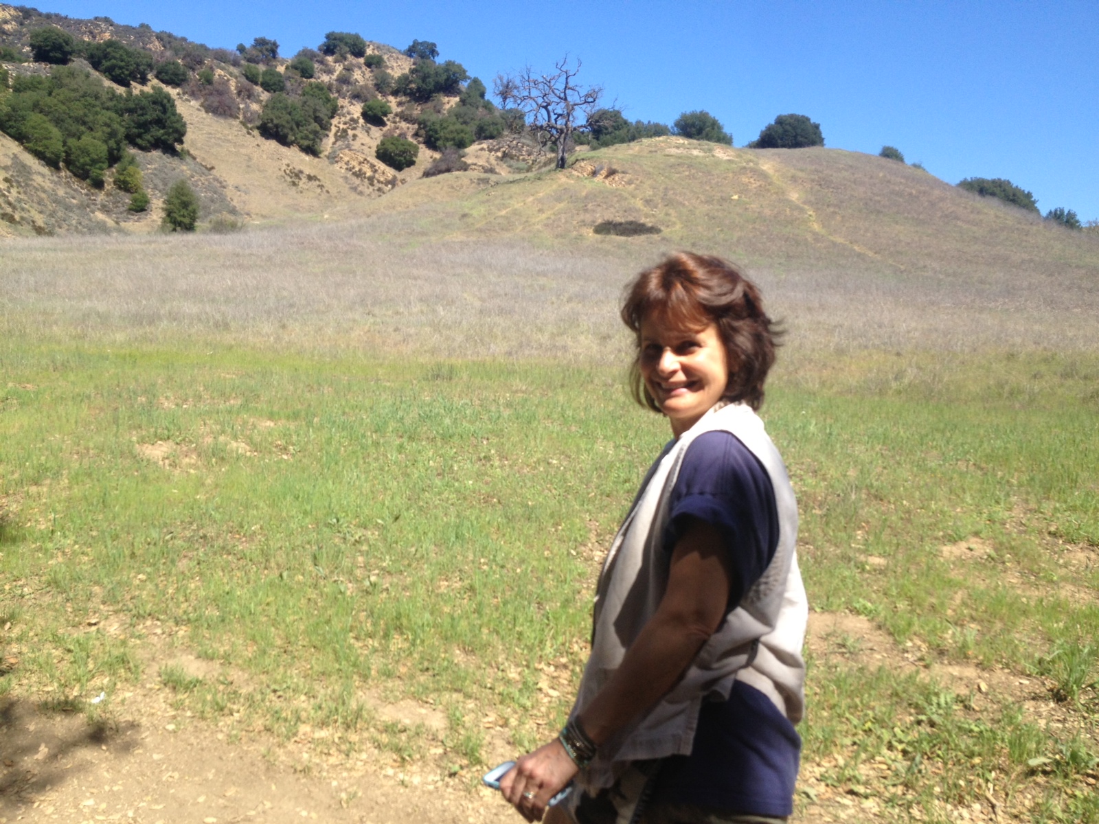
Victoria at the trailhead, ready for adventure.
Victoria and I first descended into Big Santa Anita Canyon on a day hike. And it’s a steep descent. The walk down from the Chantry Flat trailhead to the valley floor begins at the parking lot and plunges 400 feet over 8 tenths of a mile. As relaxing as it is to start a hike with a long downhill stroll, veteran hikers know it only means a tortuous uphill slog on the finish.
Once on the valley floor, we followed the wide, shady trail along Santa Anita Creek leading to the popular 50-foot Sturtevant Falls.
We hiked about 7 miles that day, enjoying the canyon’s unique, rocky, riparian landscape and the midsummer trickle that dripped down the otherwise impressive Sturtevant Falls.

Sturtevant Falls, Photo by Andy Serrano
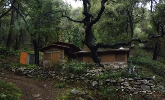
 We especially enjoyed the sight of all the funky old creekside cabins, built back in the 1920’s and 30’s, when the U.S. Forest Service promoted recreational residence in the canyon. There are over 80 of these privately owned cabins, which have no electricity or running water — and they’re not available for rental. But they look cool. The whole scene reminded me of a So Cal version of Middle Earth. (Indeed one of the cabins was dubbed Bombadil’s Castle: a clear J.R.R. Tolkien reference.)

After surviving that last, brutally hot, 8th of a mile, uphill endurance test to climb back to the trailhead — Victoria and I decided to return as soon as possible for an overnight stay at valley’s historic Sturtevant’s Camp.
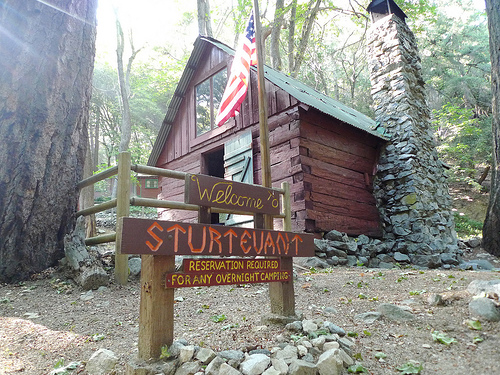
 Sturtevant’s Camp is the oldest resort in the San Gabriel Mountains, built in 1892 by Wilbur M. Sturtevant during the “Great Hiking Era”(1880’s through the early 1930’s) when thousands of tourists hiked into the local mountains, covering long distances over crude trails to encounter the natural beauty of their Southern California home.
Today, it’s hard to imagine many So Cal families abandoning their SUVs, highways and fast food stops to hike with a pack mule train along the strenuous 4.5 mile trail from Chantry Flat to Sturtevant’s Camp, climbing about 1,800 feet along the way. But it was a challenge Victoria and I eagerly embraced.
 Incredibly, those pack mule trains still operate today. One of the coolest things about Chantry Flat is that it’s home to the last pack station in Southern California: the last operation where they actually use pack mules to haul supplies into the valley. Alas, Vic and I were too late to use the mule team service, so we had to carry two day’s worth of supplies on our own backs.
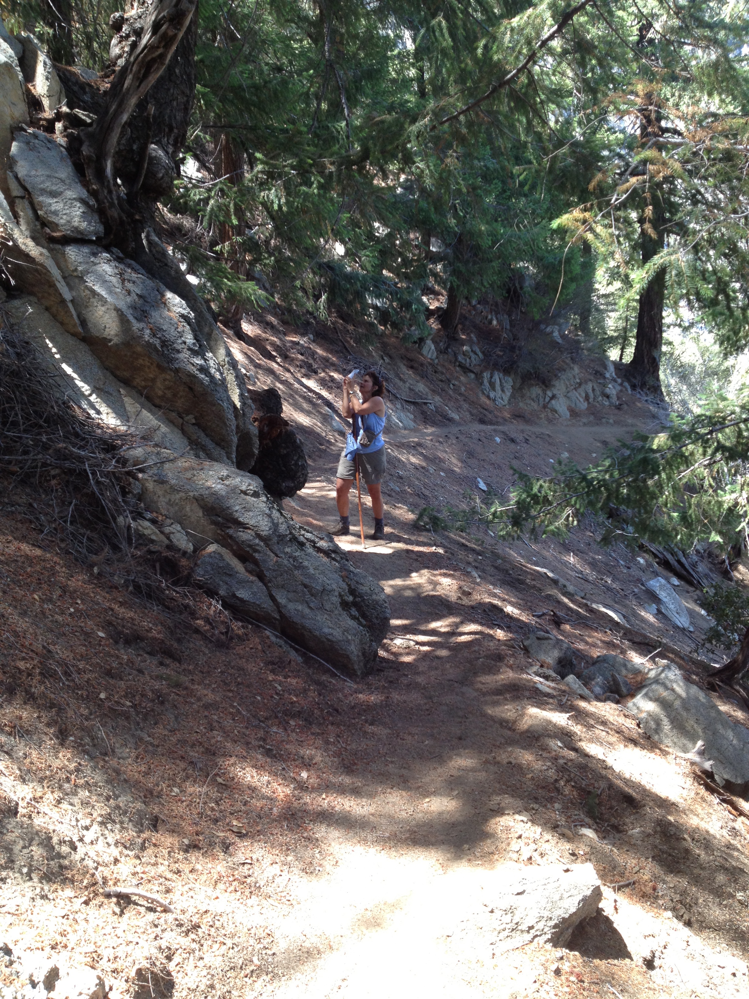
 On our return visit to Big Santa Anita we blew off another look at Sturtevant Falls. After all, it hadn’t rained during the intervening two weeks. Instead, we took the trail leading up the valley to Sturtevant’s Camp. This trail wound along the rising cliffs above Sturtevant Falls, providing us with a new perspective on the falls — and some dramatic photo ops.
We made good time climbing up the trail and arrived at Sturtevant’s Camp much earlier than we expected — and too early to rendezvous with our camp host.
We needed our host. He was the guy who would open our cabin and turn the gas on. Without him, all we could do was peek in our cabin window and look around at the dowdy yet charming remains of what was once considered a resort destination.
 There was a time when Sturtevant’s Camp one of five resorts in the canyon back in the 1930s. That’s not the case today. Now, it’s the only “resort” left – and its chief characteristics are a rundown, historic appeal and a basic utility. It’s a comfortable and clean enough place to rest your head (and feet) after a hard day of hiking.
But there was no rest for us yet. An enthusiastic (and annoyingly unexhausted) group of 20-somethings arrived at the camp: a matched set of three boys and three girls. We were pleased to know that we wouldn’t be alone at the camp – but we weren’t ready to get social yet. And since our camp host had yet to arrive, we made a bold decision: to climb 5,710-foot Mt. Wilson.
 Since the camp sits at about 3,500 feet above sea level, our ascent of Mt. Wilson covered three miles and 2,200 feet of elevation. That’s a lot of “up”.
It’s a good thing that Victoria and I had been hiking regularly for several months before we attempted the summit of Mt. Wilson. And thank goodness we brought just enough water. The late afternoon sun was merciless, and there were several treeless stretches with little or no cover along the winding, narrow, rocky, dusty trail up to the famous observatory.
Even before we gained the summit our hard work was well rewarded by stunning views of the L.A. basin spreading out before us to the south. It was a clear day – and even Catalina Island was in view.

Okay, so you can’t see Catalina. Blame my damn iPhone camera!
 At the summit, we still weren’t finished hiking. The concrete roads wound past the white domes of the observatory and a series of other telescopes. Finally, we arrived at the Cosmic Café, which is open from April to October.
The Cosmic Café is not fine dining, but we were happy to indulge in a hot dog, Diet Coke and more water as we rested before our descent back to the camp.
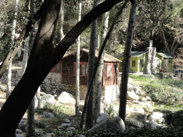
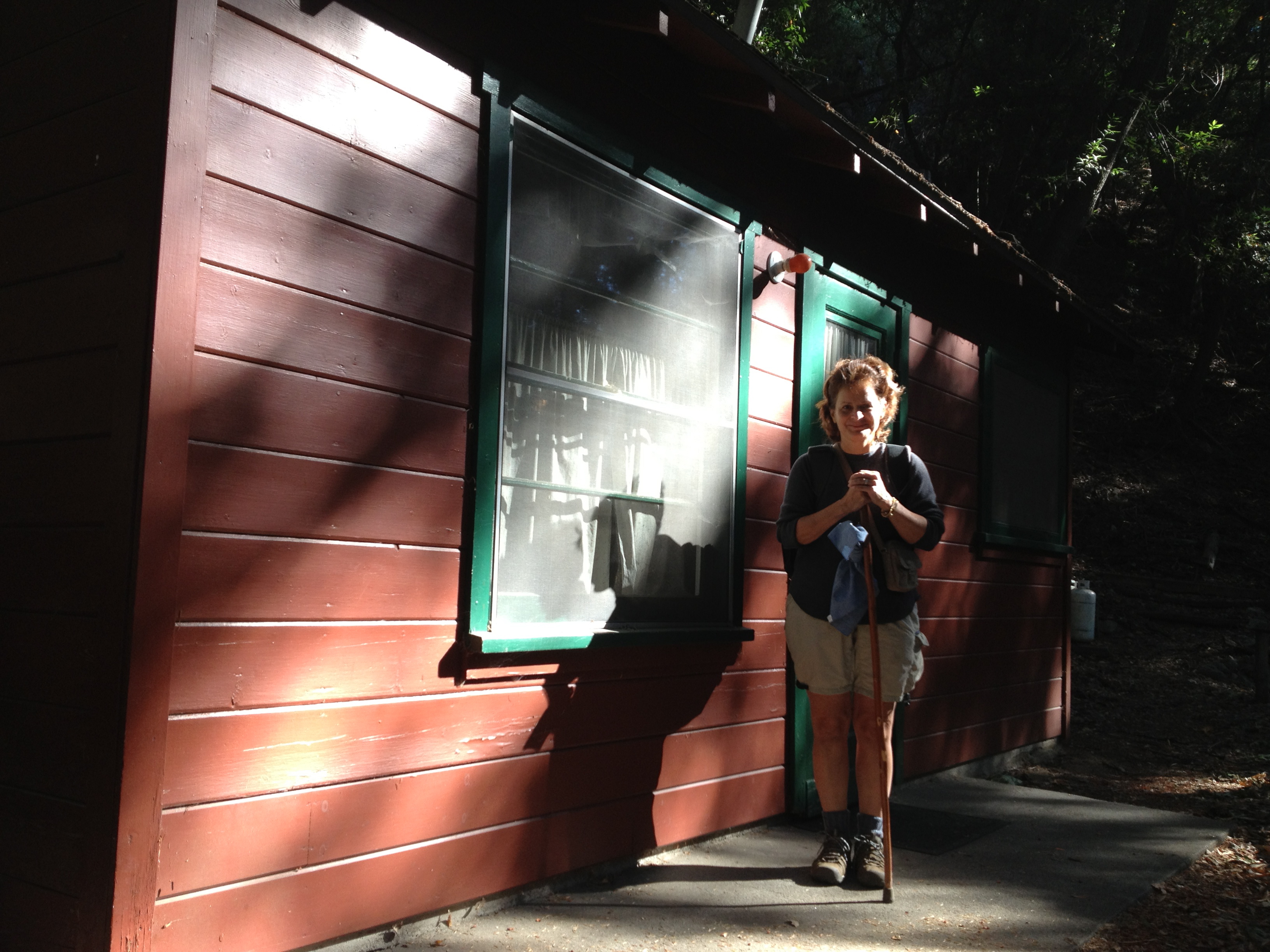
When we got back to the camp our host was waiting for us. He opened our cabin – and, exhausted but feeling victorious, we moved in for a rustic but comfortable night’s stay. The next day, we’d be hiking for another 7 rugged miles on our way back to Chantry Flat. But first, it was a delightful evening of sipping Chardonnay and enjoying the quaint, spare luxuries of Sturtevant’s Camp.
What follows are some photos of our cabin – and scenes from our hike back to Chantry Flat.

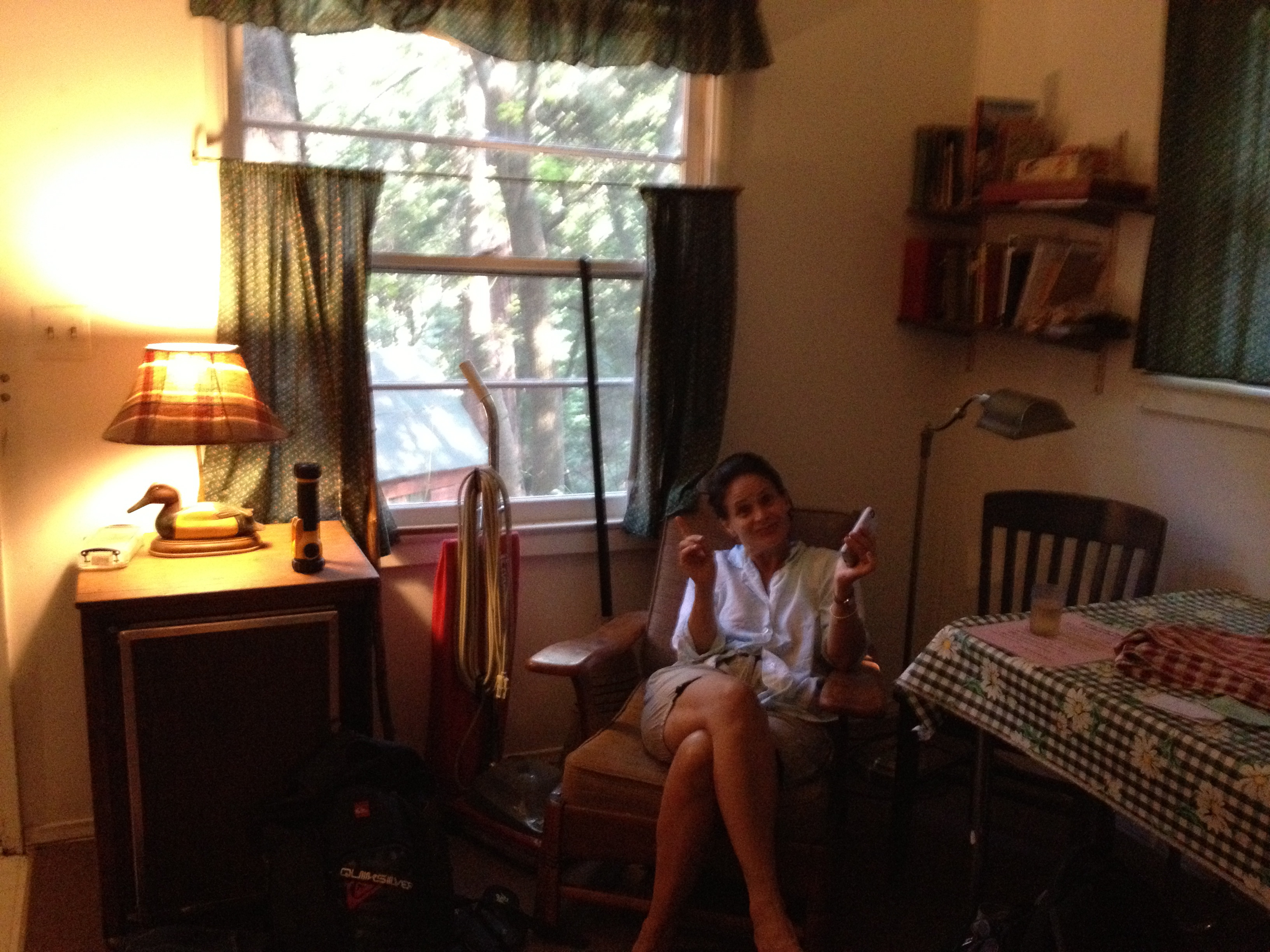
Our cabin.

Inside our cabin.


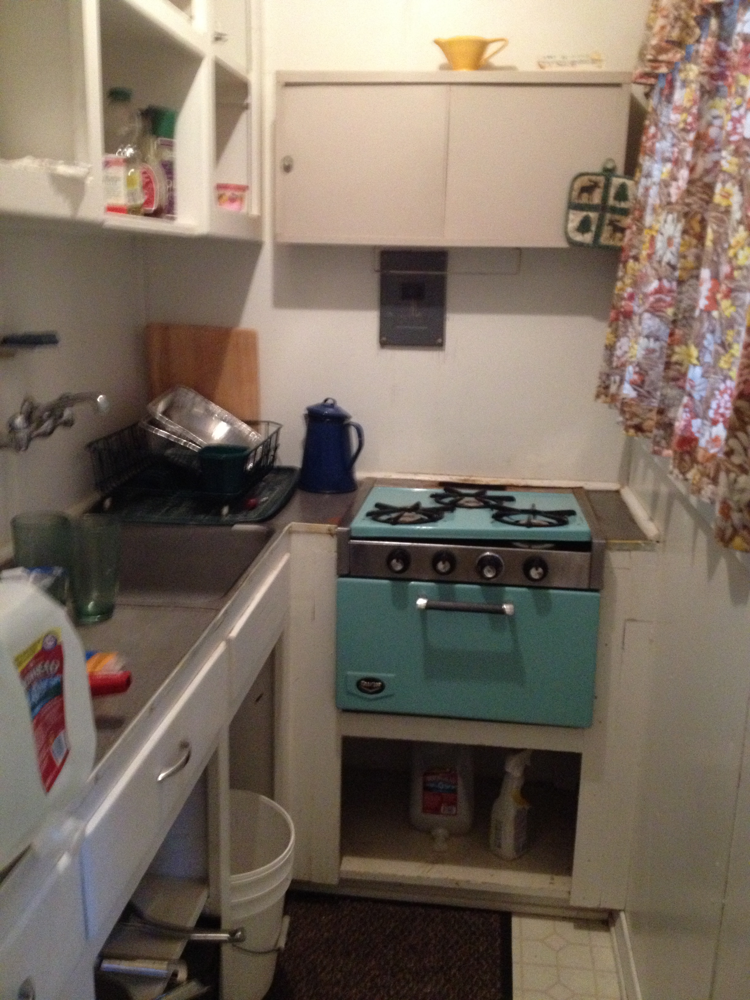
The kitchen in which we cooked chicken breasts for dinner.

Our somewhat comfortable bed: more than serviceable after our trek up Mt. Wilson

The pleasant sylvan view from our window.

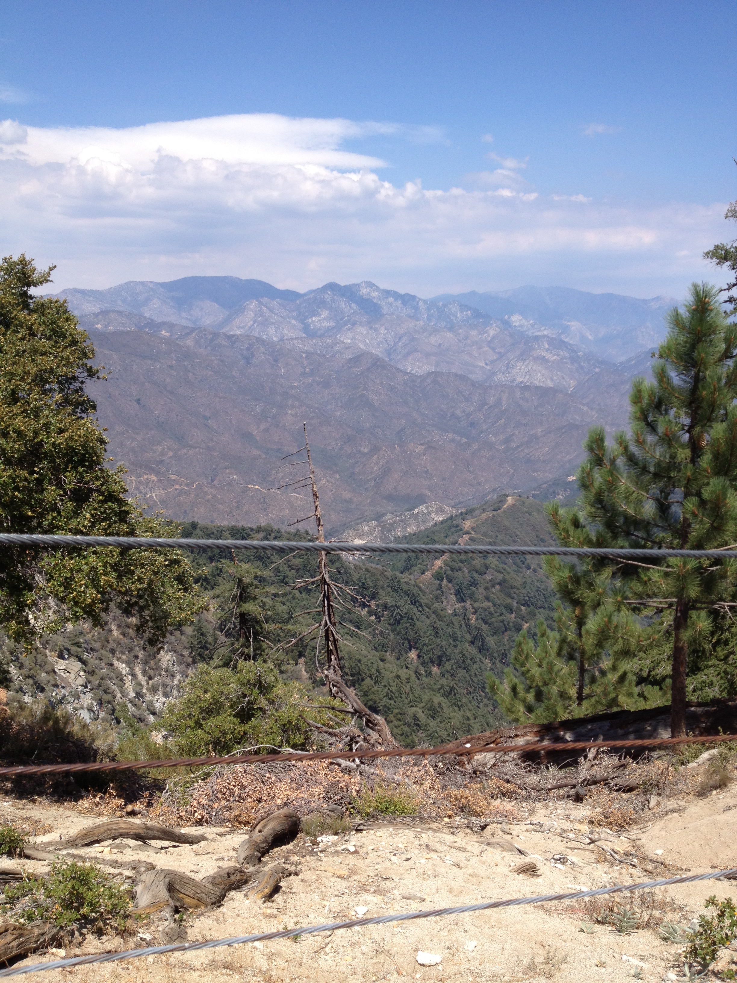
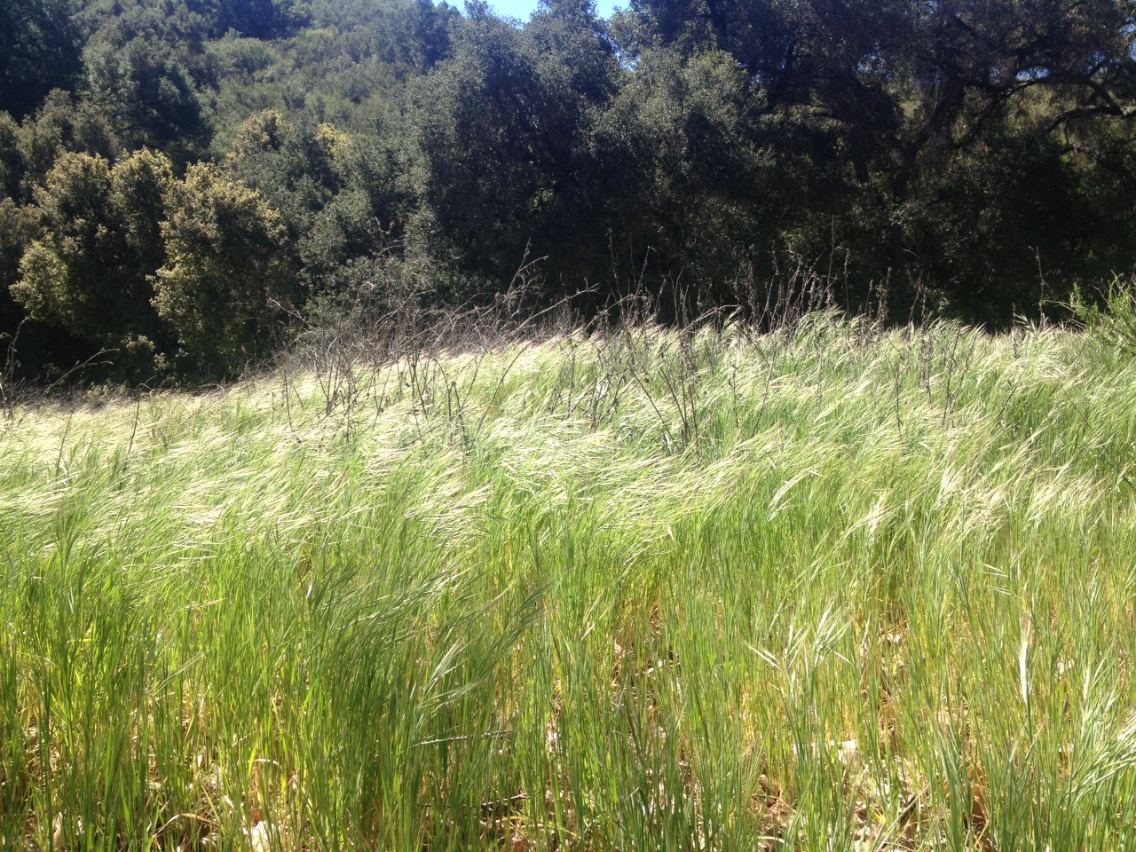
A view from the upper trail back to Chantry Flat.


It’s scenes like these that keep us coming back to the mountains of Southern California.


 My intrepid and indomitable wife Victoria and I traveled to Yellowstone National Park in August of 2017 (just before the total eclipse) and hit the many wonderful trails with gusto.
 We enjoyed our walks through the various geyser basins – making sure to get up at the crack of dawn and arrive at each of these phenomenal landscapes early in the morning.
 Knowing we were in for a memorable mountain trek, we decided to shoot a video account of our journey on the trail to Sperry Chalet. (See video above.)
 The guidebooks call this hike “strenuous” – but, despite the July heat, the bugs, and the challenging elevation, we call it doable: provided you take your time, bring plenty of water, and start off early in the morning to beat the heat.
 When you reach your destination, Sperry Chalet does not disappoint. It was originally built by the Great Northern Railway in 1913, and is now listed as a Historic Landmark.
 The Sperry Trail was built in 1902 and 1903 by college boys from Minnesota, and was likely the first organized trail-building effort in the park. These two reasonably fit, slightly overweight middle-aged hikers wish to thank those industrious, visionary college boys.
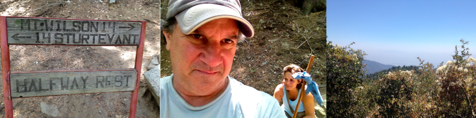


![photo[2]](https://pab58.com/wp-content/uploads/2013/04/photo2.jpg)
![photo[1]](https://pab58.com/wp-content/uploads/2013/04/photo1.jpg)
![photo[8]](https://pab58.com/wp-content/uploads/2013/04/photo8.jpg)


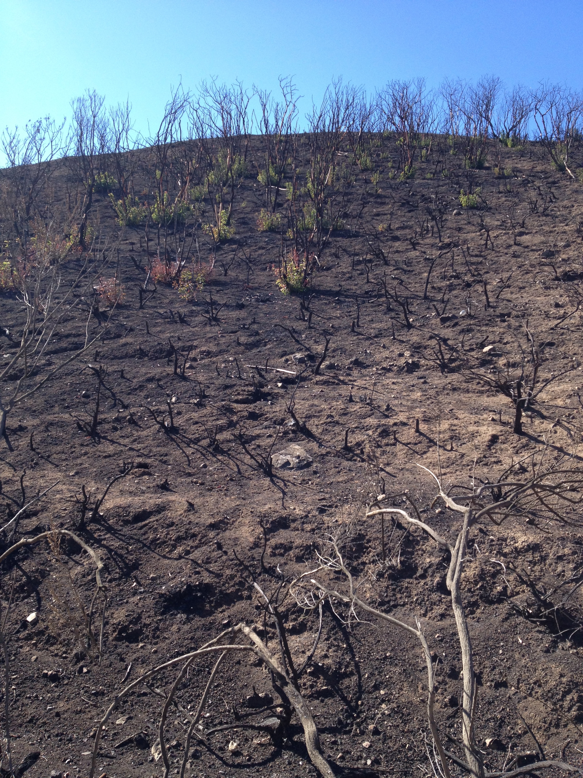
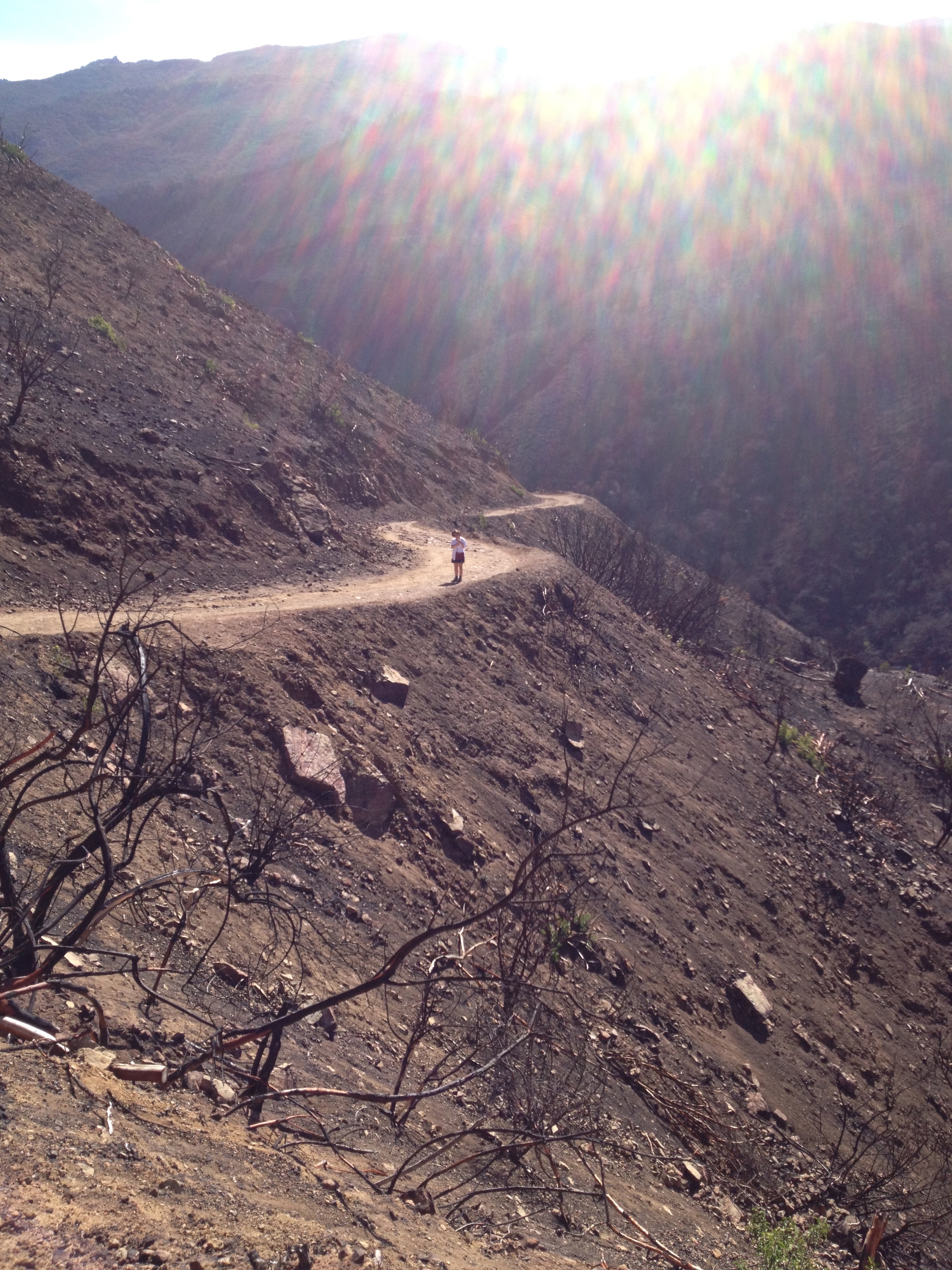
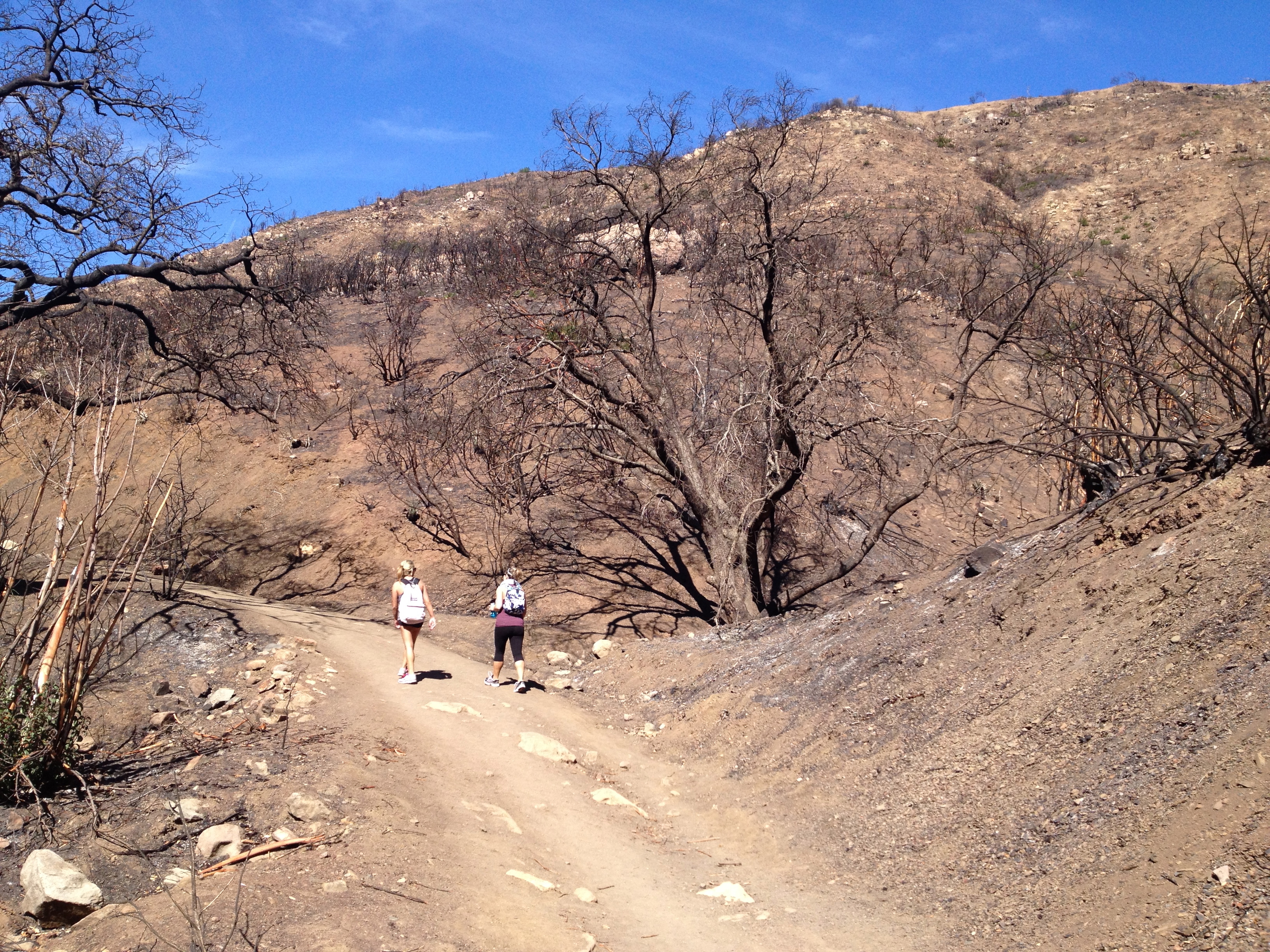
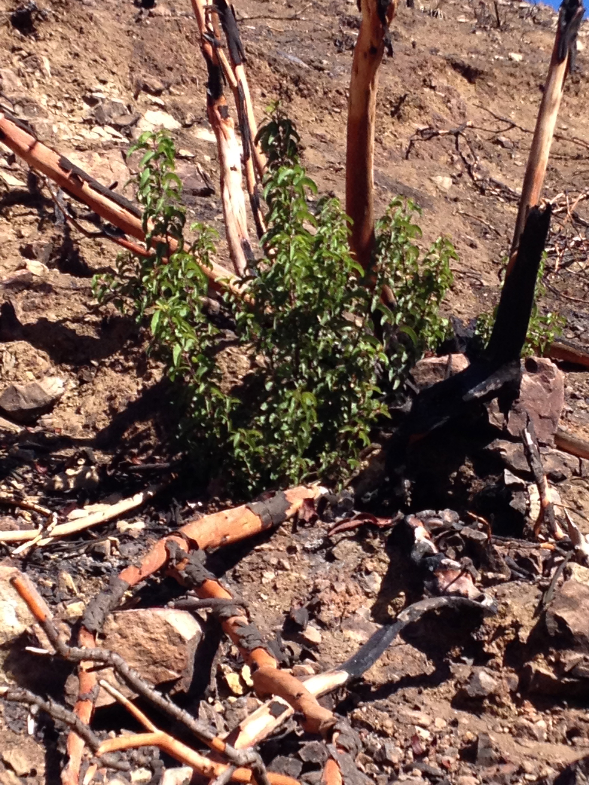
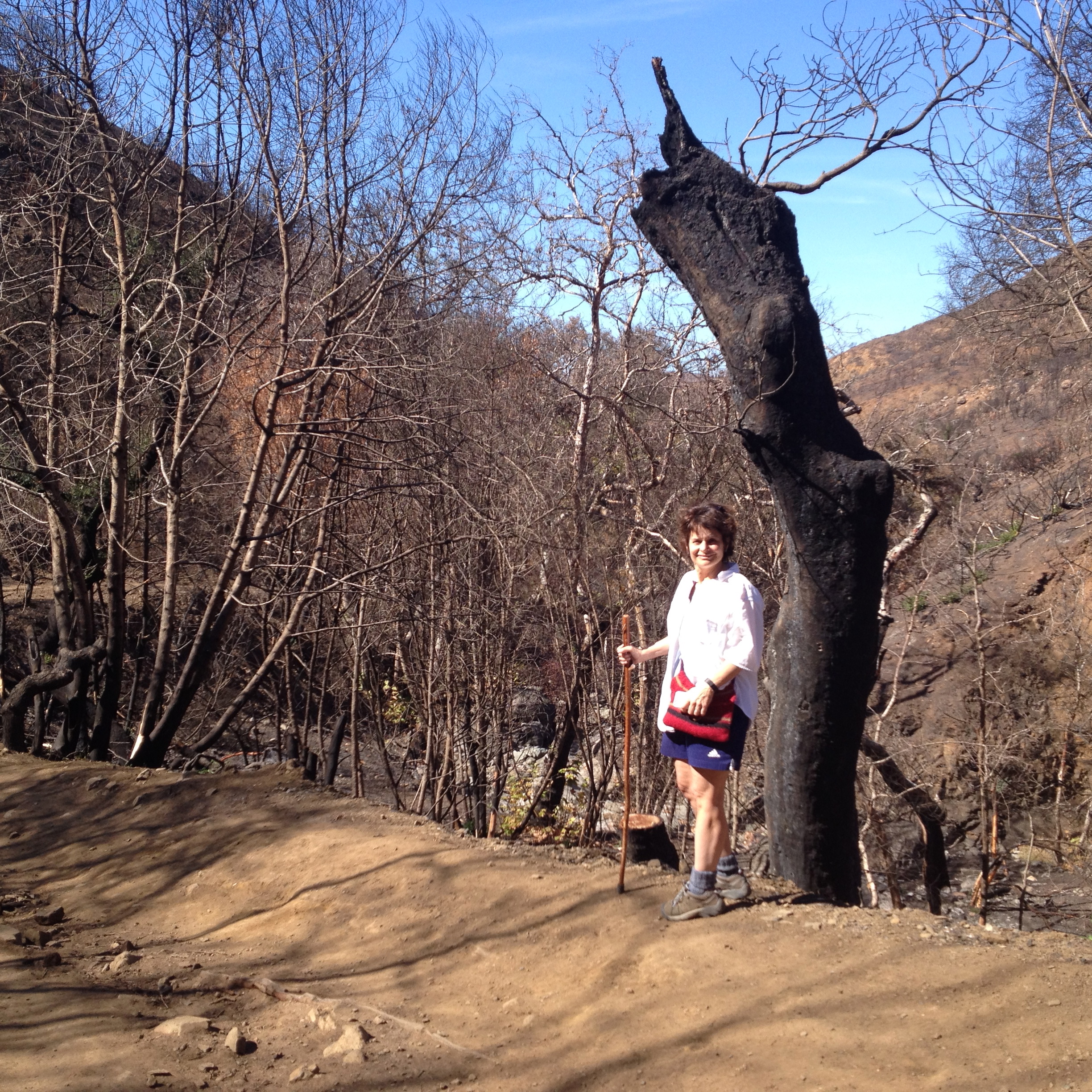
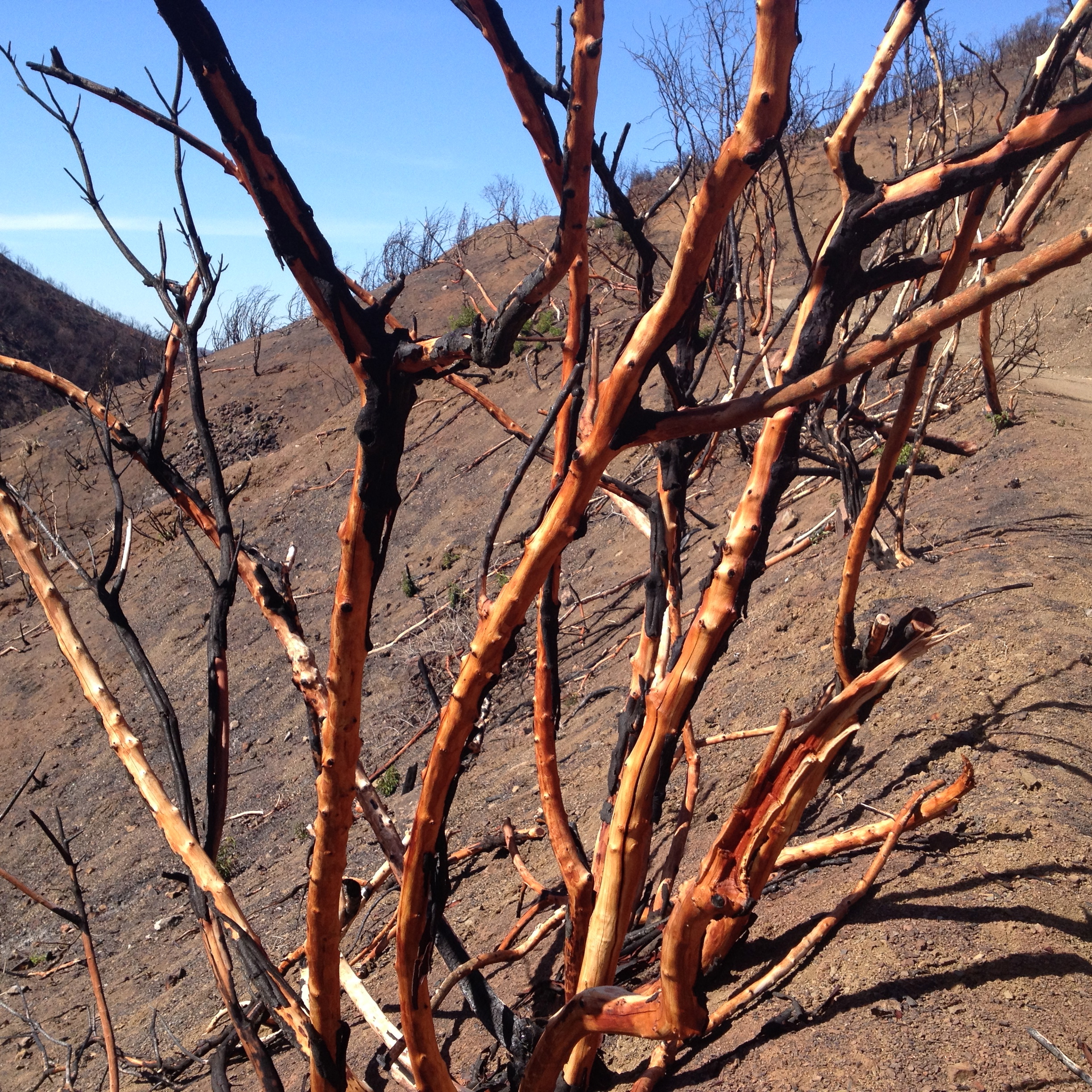
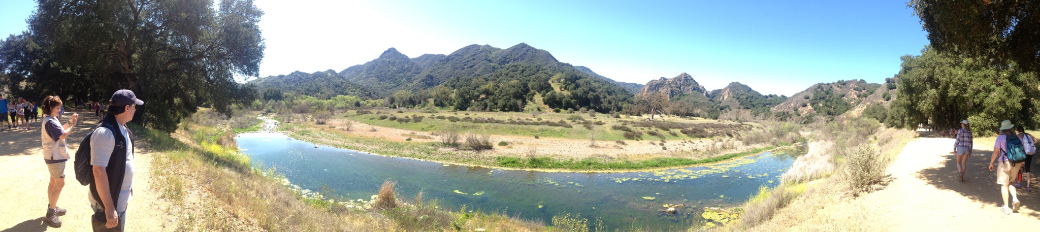
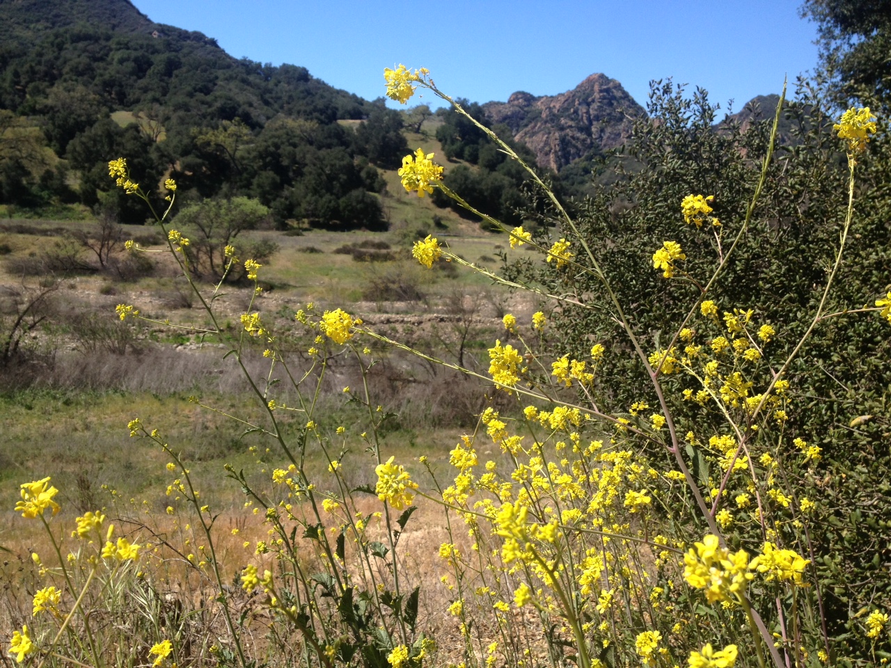
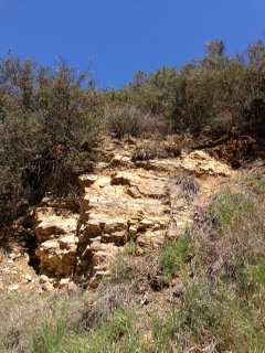
No Doubt A Drought.
I have seen the creek bed at low water in previous years – when the stream was reduced to a few feet across during the hottest days of late summer. But I have never beheld this parched, arid landscape — especially just a few months removed from Spring. For reference – check out this footage I shot this January, showing winter rainwater pouring down into Malibu Creek from the mountains above, churning up foam as it falls.
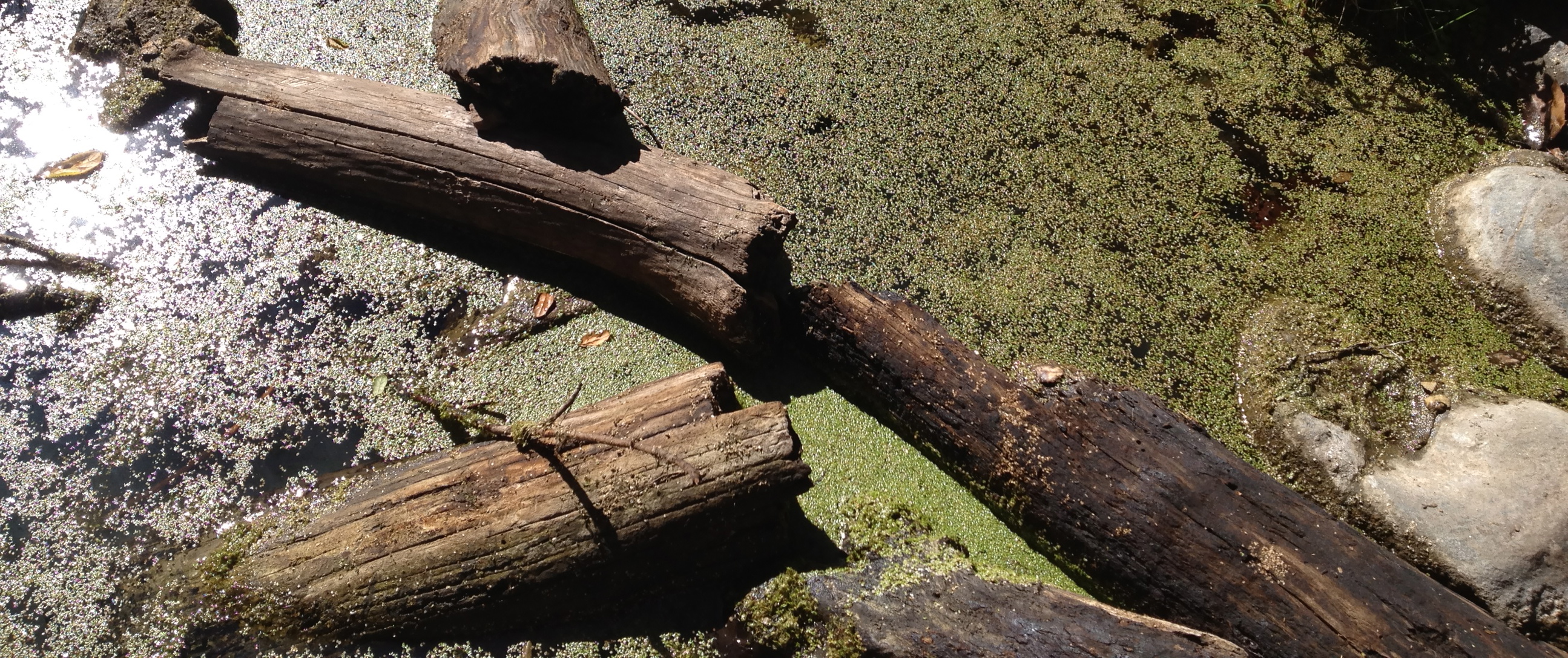
Now? Not a trickle.
I don’t know what’s going to happen with this drought. I applaud Governor Brown for getting serious about it. Perhaps, as my very creative wife suggests, we Southern Californians should get together for a big rain dance.
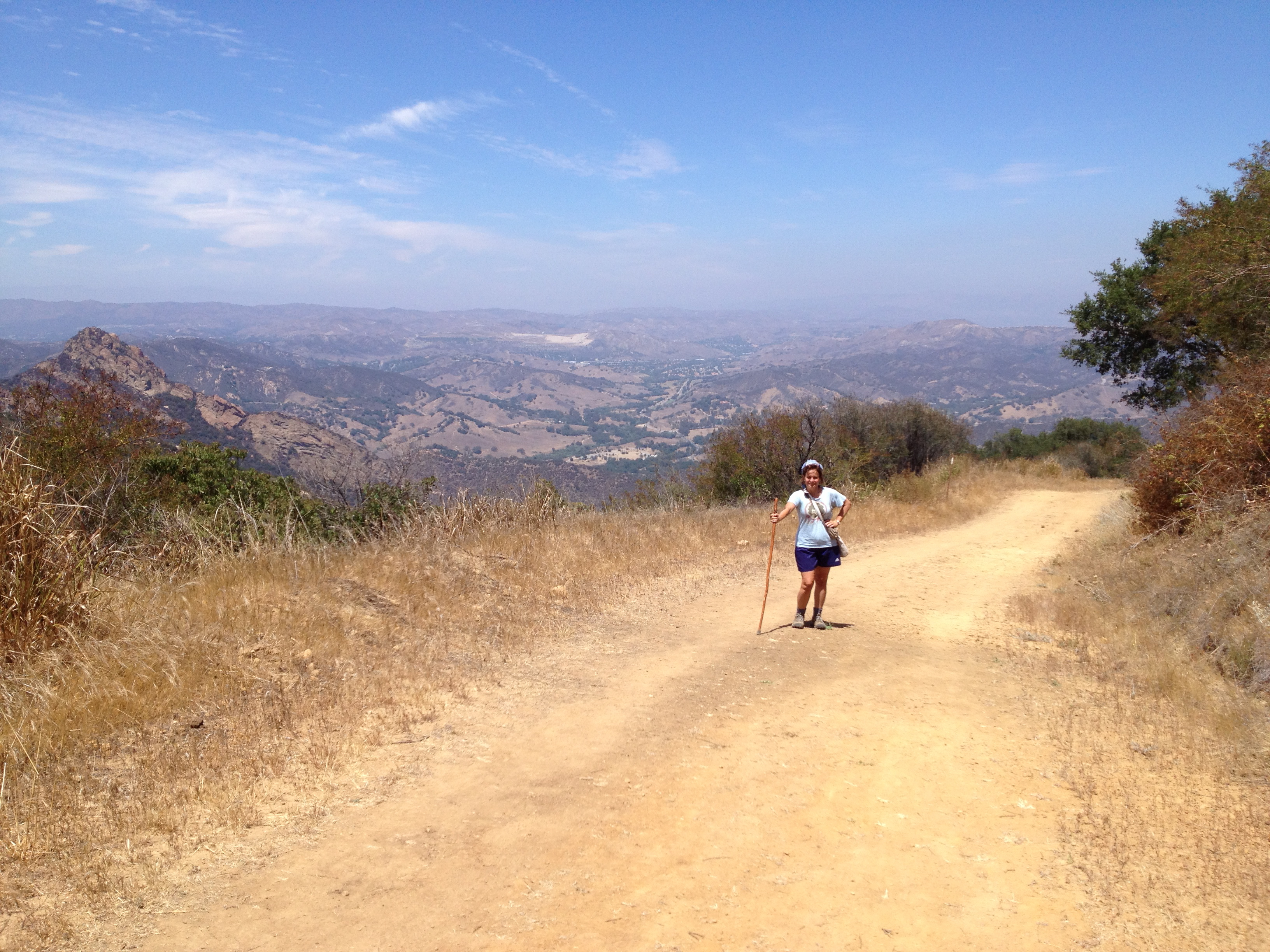
We could hold our Grand Rain Dance in Malibu Creek State Park.
We could dance right in the creek. And nobody’s shoes would get wet.
5 Comments
Filed under Adventure, Politics, Random Commentary
Tagged as California, drought, Governor Brown, hiking, Malibu Creek, Malibu Creek State Park, rain, Southern California